


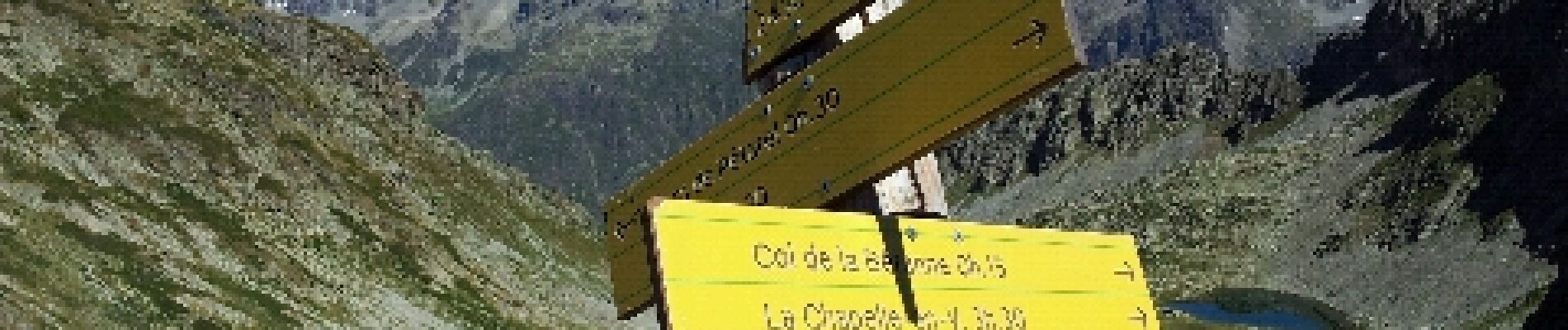
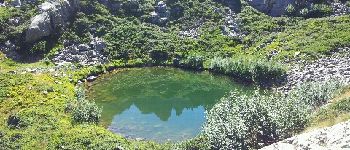
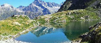
lacs de Petarel

lolosese
User
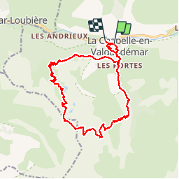

Length
20 km

Max alt
2464 m

Uphill gradient
1431 m
Km-Effort
40 km

Min alt
1085 m

Downhill gradient
1438 m
Boucle
No
Creation date :
2014-12-10 00:00:00.0
Updated on :
2014-12-10 00:00:00.0
5h40
Difficulty : Medium

FREE GPS app for hiking
 SityTrail
IGN / Geographical institutes
SityTrail Plus
The world is yours!
About
Trail Running of 20 km to be discovered at Provence-Alpes-Côte d'Azur, Hautes-Alpes, La Chapelle-en-Valgaudémar. This trail is proposed by lolosese.
Description
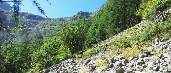
à partir de la Chapelle en Valgaudemar - randonnée / course
Photos


Positioning
Country:
France
Region :
Provence-Alpes-Côte d'Azur
Department/Province :
Hautes-Alpes
Municipality :
La Chapelle-en-Valgaudémar
Location:
Unknown
Start:(Dec)
Start:(UTM)
278101 ; 4966534 (32T) N.
Comments